I catch up with Blaze and Natalie, sit down in some shade, and lean against the trunk of a tree. They are concerned. They haven’t seen me for much longer than usual. They say they were getting ready to send themselves as search and rescue.
I debate with myself about just shrugging it off and not saying anything. Instead, I confess. “I think I just earned a trail name.”
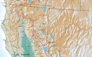
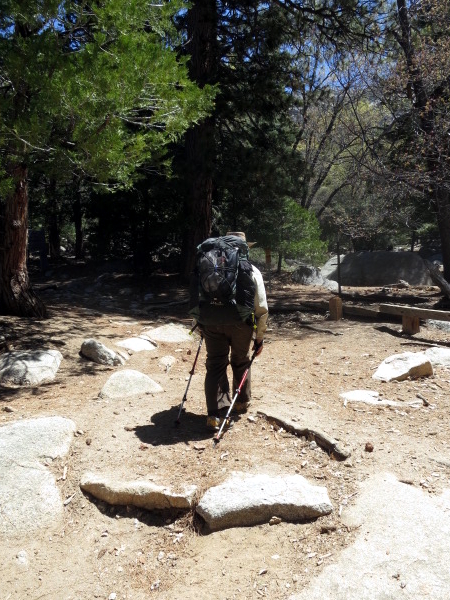
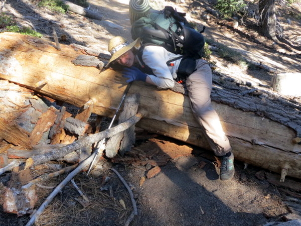
Devil’s Slide Trail
The neighbors – the group of hikers we met yesterday – are up before the sun. And they are not using their quiet camp voices. They definitely are “the herd.”
We have a slow morning and get going late. This is starting to be a recurring pattern. Natalie finds food in the hiker box. We eat a large breakfast at Red Kettle. She buys some pastries at the bakery. She says she is eating her way out of town.
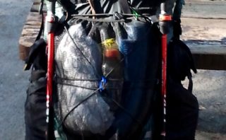
We get as far as Nomad Adventures and stop to rest in the shade on their porch. We weigh our packs. Mine is 28 lbs with two days of food and 1-1/2 liters of water. Natalie’s is heavier by a pound. Ashley’s weighs 26 lbs. She wins.
We walk out on the road to hitch a ride to Humber Park. We no sooner stick out our thumbs than Steve, a local property manager, stops to give us a ride. He drops us off at the Devil’s Slide Trail. Thanks, Steve.
We share a beer Natalie found in the hiker box. We put the empty in the recycling can (California is great for recycling containers at parks and trailheads) and start the 2-1/2 mile trudge uphill back to the Pacific Crest Trail.
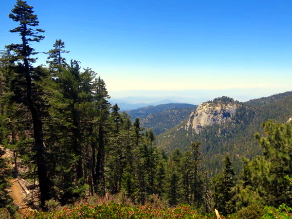
Streams are running so we stop halfway up and refill waters. We take another break at the top of the Devil’s Slide Trail and then it’s uphill again to the junction of the PCT and Wellman Divide Trail which goes to the top of San Jacinto Peak. Time for lunch.
Earning a Trail Name
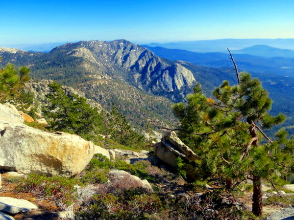
After lunch, the girls take off. I follow. The trail descends, steeply at times, and over rocks. I’m pretty much in a trail trance. Just focusing on where to place my feet so as not to aggravate my right Achilles tendon or the outside of my left ankle that has been hurting since Scissors Crossing two weeks ago.
I look up. The trail seems to fade away into brush. That doesn’t make sense. There’s brush to my left. I turn around to my right and in to the slope. Oh, of course, after dropping all this elevation, the trail goes back up hill. I trudge away.
A couple hard charging hikers are come down the trail. Seems odd to me that they’re hiking southbound. Maybe they forgot something in Idyllwild. I step off the trail out of their way. “Are you guys hiking to Mexico?” I ask. I know, of course, that I’m presently walking north to Canada.
One answers, “God, I hope not.” Strange. Oh, well. Hike your own hike. I trudge on confident in the direction I’m headed.
I reach a trail junction. What? This isn’t on my map. Wait. It all looks familiar. Can’t be. I read the trail signs. It is. I’m back where we ate lunch. What? I physically feel the disorientation. Cognitive disonance. I take a breath and calm things down. I’ve totally turned around and back tracked about 1/4 of a mile of trail. Apparently, I’m the one hiking south to Mexico.
I turn around and continue my journey. Going north to Canada again. For real, this time.
Christening
I relate all this to Blaze and Natalie. They laugh and laugh. And tease at my expense. I’ve earned it.
They say a couple hikers came by. They asked them if they had passed anyone. The hikers said no. Maybe they were thinking if they had passed anyone heading the same direction. The girls say they wondered if I had gone to the top of San Jacinto Peak.
They banter around trail names. Natalie comes up with Backtrack. It sticks.
Well, their mother and I christened them. Now they get to name their father.
PCT Day 23: 8.7 miles hiked (I hiked 9.2). Camped near Deer Springs (about 9,000 feet elevation and 2,500 feet higher than where we started this morning).